Public Safety Projects
We have created a free, open-souce platform to help the public make the roads safer
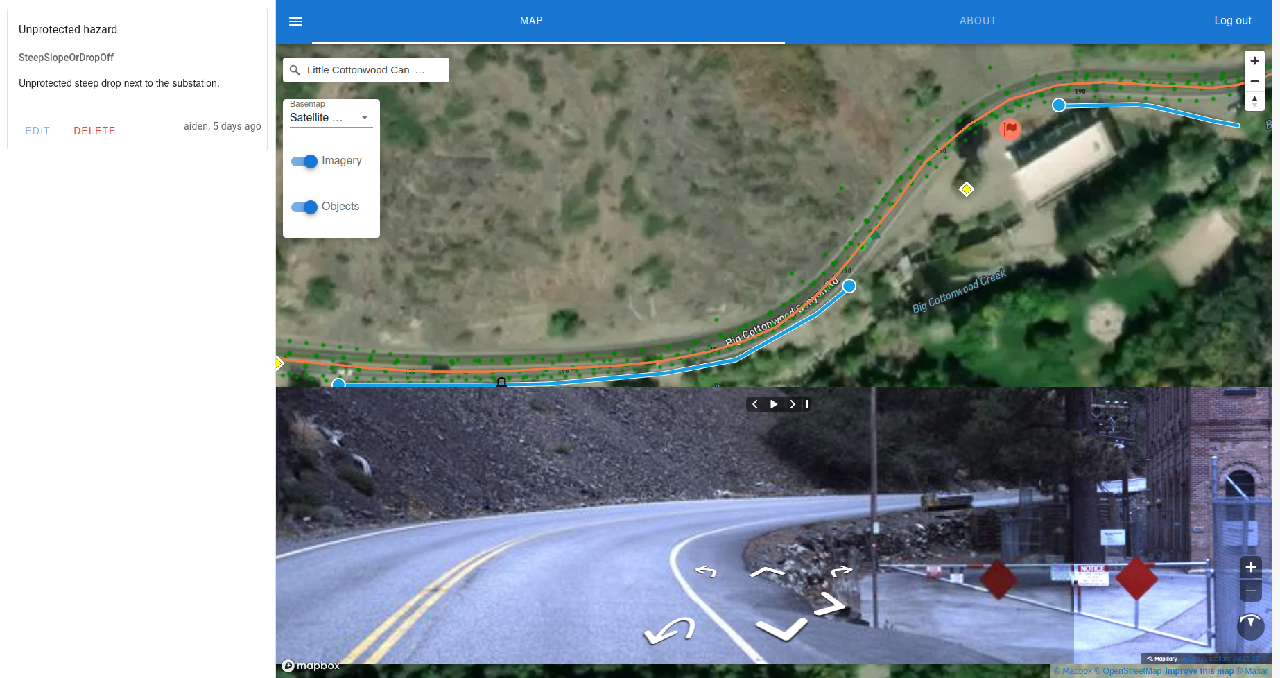
Road Safety Map
Central to our mission is a map of road safety features, hazards and accidents. map.safe7y.com is a public map which anyone can contribute to.
This map brings together satellite images, street level images, community mapped features, AI analysis and a series of government datasets to create a complete picture of road safety and make it possible for anyone to quickly add features and flag issues. Thanks to Mapbox, Mapillary, NHTSA, and the Open Street Map Community, for making it possible.
Populate the map
Road Safety Wiki
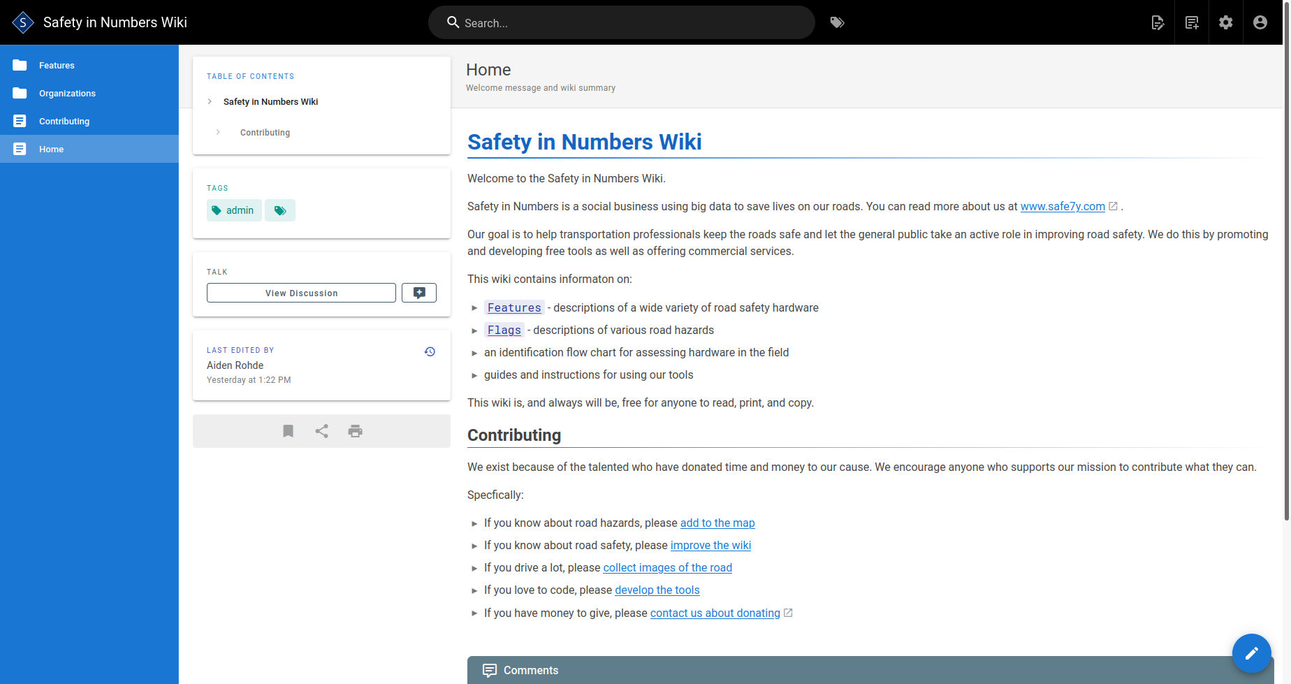
Identifying and assessing road features and hazards requires detailed information. At wiki.safe7y.com we are working to collect details about all kinds of road safety hardware and it's condition and make it accessible to the general public.
We welcome contributions from anyone familiar with road safety technology and we are very grateful to Task Force 13 and the FHWA, among others, for giving us a solid foundation of documentation to build from.
Expand the wiki
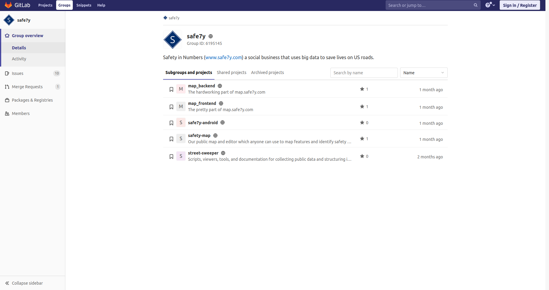
Open-source Code
All of the software that drives our public projects is open-source and we welcome contributions of any kinds, be they bug reports, bug fixes, or complete rewrites of our tools.
If you have expertise you'd like to share please checkout the project on Gitlab. We are infinitely grateful to all of our contributors.
Improve the code
Streetview Data
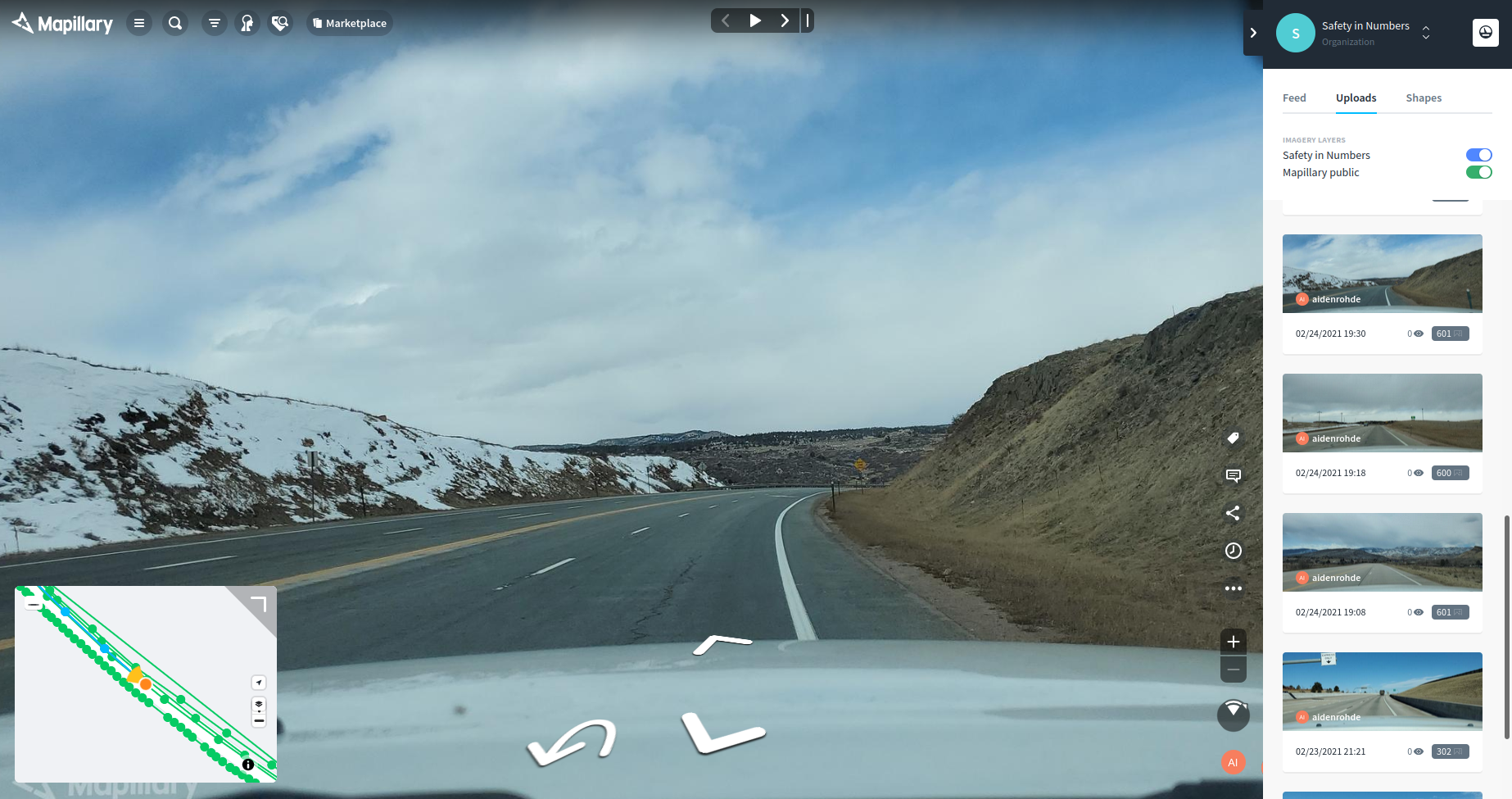
Our analysis requires, frequent high quality images of the roads. We get this data from state video logs, commercial operators, and, most importantly Mapillary, a commmunity supported street-view system.
We do our best to contribute to this platform, employing our own data collection vehicles on long runs through little trafficed areas. You can see our data on Mapillary and if you have read this far we highly encourage you to contribute your own.
Contribute to Mapillary