Paid Services
We work directly with road operators and other professionals to save lives.
Asset Management
Our mission is to work with road operators, installers, researchers, government and manufacturers to track road safety equipment, find hazards and fix them.
Beyond what you see at map.safe7y.com we can provide:
- Improved Input Data - Use your own video log, our data collection services, or other paid data sources like Nexar or Google Streetview to find all your assets.
- Client Specific Analysis - Our analysts can map the features and fields that are important to your organization, including many HPMS and MIRE data elements and MUTCD compliant data.
- Data Integration - We can integrate with ArcGIS, QGIS, and other systems you may use internally. We can deliver data via our cloud platform or physical media.
- Cost Effective Updates - Have an existing, but outdated asset inventory? We can help update it for a fraction of the cost of creating a new one.
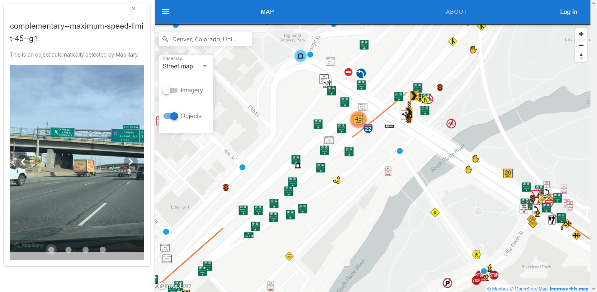
- Training - Your staff can use map.safe7y.com and Mapillary to track your assets for free. We are happy to provide training.
Alone, all we can do is put dots on a map. With your help, we can save lives.
Data Collection
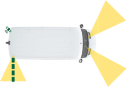
If required, we can provide data collection services with our fleet of data collection vehicles equipped with high resolution cameras, lidar, and highly accurate GPS receivers. These vehicles can cover up to 300 miles per day, weather permitting. The collected data can be served from our cloud platform or delivered via physical media.
Our strong recommendation is to use existing public data, existing paid data, or data you already collect for asset management. It is the most cost effective and environmentally friendly alternative.